
Aerial Mapping – Drones & Photogrammetry
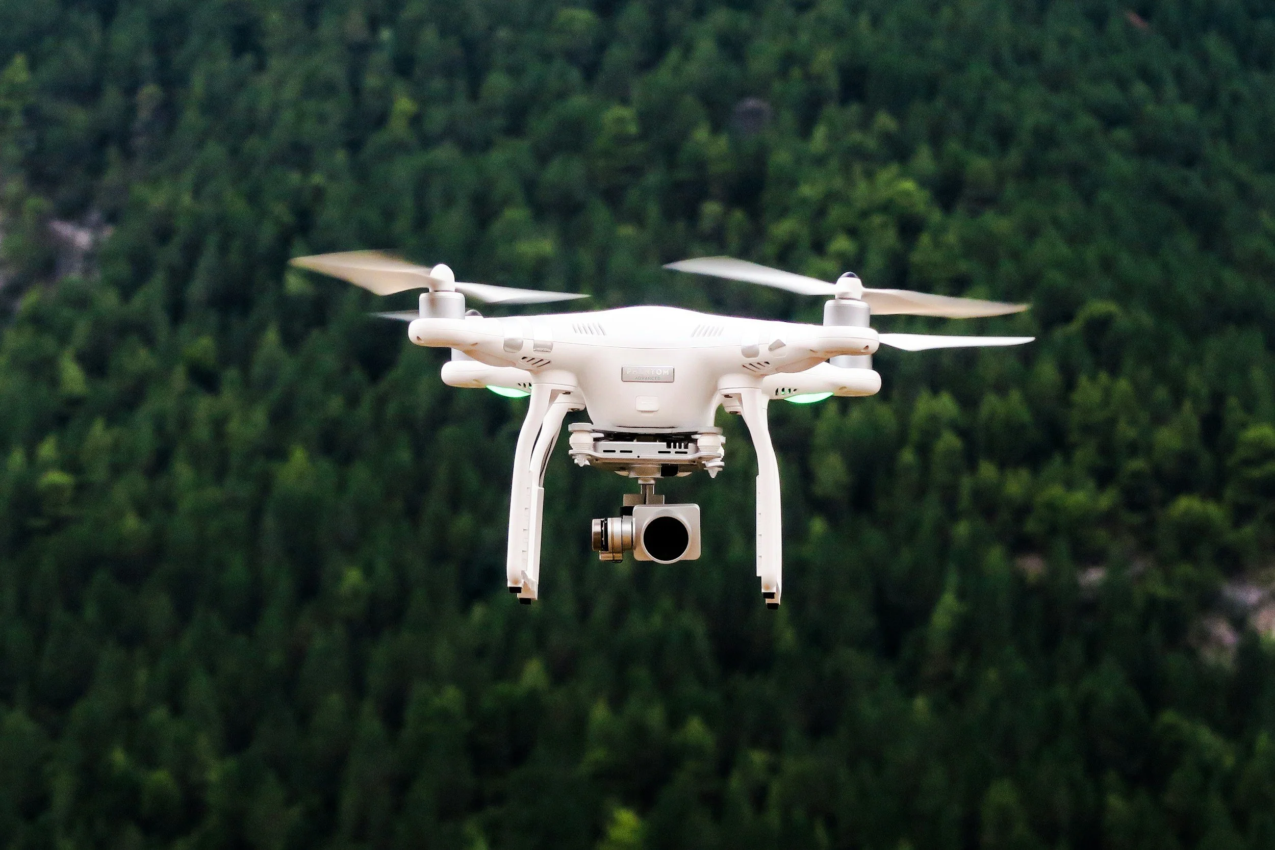
Zenith Surveying provides high-accuracy aerial mapping services using advanced drone technology and photogrammetry. Our aerial data solutions deliver detailed orthomosaics, topographic maps, and 3D surface models with fast turnaround times and exceptional precision. This technology allows us to efficiently survey large or hard-to-access areas while minimizing site disruption and improving safety. Our aerial mapping services are ideal for land development, construction planning, volume calculations, and site analysis.